Make / Model Search
News - Hema - mapsHema Maps launch three new productsUpdated Tasmania, Outback Queensland, and K’gari/Fraser Island maps now available15 Jun 2023 By MATT BROGAN AUSTRALIAN map and guide publisher, Hema Maps, has announced a trio of new products this month covering the state of Tasmania, Outback Queensland, and K’gari/Fraser Island.
Available online and through four-wheel drive, touring and mapping retailers, the products extend Hema Maps comprehensive range of Atlas & Guide books and sheet maps with updated information for recreational travellers and four-wheel drive enthusiasts alike.
The second edition Tasmanian Atlas & Guide features comprehensive maps and detailed information about Tasmania’s unique natural beauty and is the perfect resource for anyone planning a trip to the island state.
The atlas contains over 40 map pages, including regional and city maps, as well as comprehensive coverage of the top 15 Tasmanian 4WD tracks, and five of the most popular hiking trails.
With additional information on what to see and do in each region of the state, information on Tasmania’s national parks, camping sites, beaches and other points of interest, the Tasmanian Atlas & Guide is also a handy source of practical advice on driving, weather and safety.
“The Tasmanian Atlas & Guide is an essential tool for anyone looking to explore the natural beauty of Tasmania,” said Hema Maps chairman, Sam Hayward.
“Our team has worked tirelessly to ensure that every aspect of the atlas and guidebook is accurate, up-to-date, and easy to use.”
Hema Maps has also released thoroughly updated and detailed maps of Outback Queensland and K’gari/Fraser Island.
According to Hema Maps, the Outback Queensland Map is designed to unlock the mysteries and untold treasures of the region, the comprehensive paper map a must-have guide for adventurers, explorers and travellers seeking “an unforgettable journey through the Australian outback”.
The 1:1,500,000 scale map covers the inland borders to Toowoomba in the east and Charters Towers in the north. It details the region’s rich cultural heritage, stunning landscapes and diverse wildlife, and is painstakingly crafted to showcase the area’s hidden gems, making it easier for users to navigate and discover all that this extraordinary destination has to offer.
“We are thrilled to unveil the Outback Queensland Map, a vital resource for those seeking to unravel the wonders of this iconic Australian region,” said Hema Maps general manager, Matthew O’Meara.
“With accurate GPS surveyed roads and tracks, detailed information on camping areas, fuel stops, national parks, and key touring routes, this map empowers adventurers to embark on a remarkable journey through Outback Queensland.”
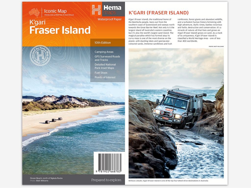
Finally, Hema Maps has launched a similarly detailed 1:130,000 scale map of K’gari/Fraser Island this month, the highly detailed paper map designed to provide an immersive experience for travellers exploring one of Australia's most diverse 4WD destinations.
With its breathtaking landscapes, beaches, rainforests, perched lakes, sand blows and swampy jens, K’gari/Fraser Island is a destination deserved of a comprehensive map, which is why the Hema Maps team has field-checked every 4WD track to ensure the inclusion of up-to-date information for its users.
Additionally, the map features hybrid satellite inset maps of Waddy Point, Orchid Beach, Cathedral Beach, Happy Valley, Kingfisher Bay, Eurong, and Second Valley to give the map user a different perspective on the key camping sites.
The reverse side of the maps offers detailed information on touring in each distinct region of the island, highlighting the numerous attractions and activities available. It also provides details on island access, permit information, accommodation options, useful contacts, and insightful tips for safe and successful sand driving.
“K’gari/Fraser Island is a natural wonder, and our goal with this map is to provide an all-encompassing guide that enhances the exploration of this remarkable destination,” said Hema Maps chairman, Sam Hayward.
“The combination of highly detailed mapping, field-checked 4WD tracks, and valuable insights ensures that adventurers can make the most of their time on the world's largest sand island.”  Read more |
Click to shareHema articlesMotor industry news GoAutoNews is Australia’s number one automotive industry journal covering the latest news, future and new model releases, market trends, industry personnel movements, and international events. |


Connect with us


Facebook Twitter Instagram